South Brittany
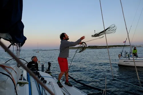
An exceptionally rich sailing area, with a great many harbours and numerous islands — the Glénans, Belle-Île, Groix, Hoëdic, Houat — and a noticeably milder climate than North Brittany. It is ideal in spring and in September. It is also where the school’s home port is, in Port-Louis, opposite Lorient.
The Iroise Sea
West of Brittany: the Brest roads, Camaret and its bay, the string of islands including Ushant and Sein, Morgat and its bay, Douarnenez… An area offering every kind of sea and current condition. Brittany in concentrated form — a real joy!
Its passages need careful preparation: the Raz de Sein, the Chenal du Four, the Fromveur and the passage north-west of Ushant are taken at the right moment of the tide.
North Brittany and the Channel
A beauty of great power, with many vast and very wild stretches of coast: magnificent beaches, rocks sculpted by the elements, grassy dunes, turquoise water… The beauty of L’Aber Wrac’h, Roscoff and Trébeurden is striking.
Sailing here calls for good planning and close attention: the tidal streams are generally strong. Every 6 hours, the sea flows one way or the other. It is a conveyor belt, carrying you east on the flood and west on the ebb. Simply respect this phenomenon and the current becomes your friend rather than your enemy. Around Saint-Malo, Chausey and the Channel Islands are the largest tidal ranges in Europe: up to almost 14 m at Saint-Malo on the highest spring tides (coefficient 120) — and such a variation in water level naturally produces strong currents.
When the weather says no: the Pertuis Charentais
The Pertuis Charentais takes in the islands of Ré, Aix and Oléron, with the Île d’Yeu a little further north. It gets almost as much sunshine as the Mediterranean, and its islands, all very beautiful, offer excellent sailing and anchoring. We sail there if the weather is unfavourable further west.
Tides and currents: the essentials
- Two tides a day. On our coasts the tide is semi-diurnal: two high waters and two low waters a day, with about 6 hours between a high water and the next low water.
- The tidal range is the difference in height between high and low water. It varies with the coefficient, which in France runs from 20 (very small neaps) to 120 (very big springs); 70 is the average.
- The rule of twelfths gives an idea of how fast the water rises or falls, hour by hour: 1/12 of the range in the first hour, 2/12 in the second, 3/12 in the third and fourth, 2/12 in the fifth, 1/12 in the sixth. So the water moves most around mid-tide.
- The tidal stream follows the same rhythm: weak around slack water, strongest at mid-tide. In tidal races and channels, slack water does not necessarily fall at high or low water: you read it from the tidal stream atlas, hour by hour relative to high water at Brest.
- Wind against tide raises a short, steep, breaking sea: that is when a tidal race becomes dangerous. So you take it at slack water or with the stream, and never wind against tide in bad weather.
Preparing a passage
Tide times and heights are published by the French hydrographic office SHOM (maree.shom.fr), marine weather bulletins by Météo-France (meteofrance.com). On the course, each day's planning takes them into account: it is part of learning to be a skipper.